Infrastructure renovations and urban planning changes leave towns and villages without traffic, and, without visitors, they languish over time.

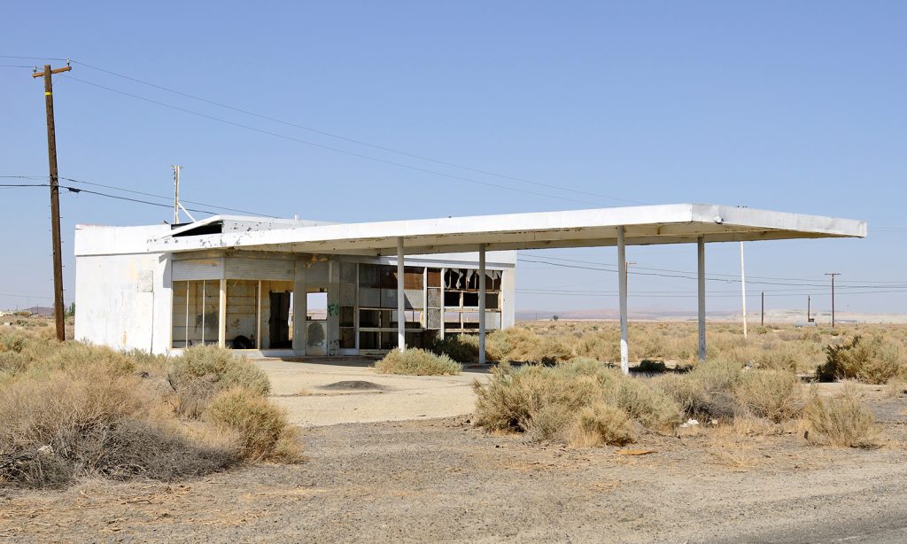
When a road is abandoned, much more than just a means of communication disappears with it. A road involves the movement of people with a series of needs that have a direct impact on the points through which it passes. Changes in planning, infrastructure improvements, improvements in safety, the conditions of the road itself or the negligence of some governments generate stretches of what are known as ghost roads. Kilometers of asphalt on which hardly any vehicles pass and which, in many cases, nature covers and takes back.
There are many reasons why the existence of a road no longer makes sense. It can become obsolete and be replaced by another with a safer, less twisty, flatter route. This creates stretches of road from nowhere to nowhere. These stretches, sometimes very long, that even cross swamps and can be traveled on during dry periods, preserve old elements and give off a magnetism that attracts road nerds, people who have extensively documented these phenomena, and sometimes create blogs about them. Examples of this are Lugares-abandonados.com and www.carreterasabandonadas.com, in Spain, and the work by the North American photographer Keith Dotson, among others.
These kinds of dead ends are used by cyclists, by skaters, and roller skaters, or are simply a nice refuge of peace in the middle of nowhere. There is something about them, somewhere between nostalgia and a taste for the lonely and the old, that attracts those who, in addition, like to drive on them in vintage cars.

The highway killed the small road

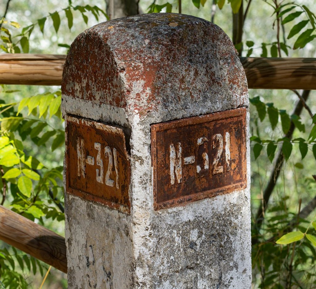
There are other cases in which roads maintain their functions and their operation, but the construction of new, more modern and safer infrastructures dries up the old ones and takes away, in the process, all the wealth they generated as they passed through towns. A paradigmatic case of this phenomenon was the construction of the A3 in Spain, which connects Madrid with Valencia, and which destroyed businesses of all kinds on the old National III, known as the Valencia Highway.
In 1998, the new highway was finally inaugurated and almost immediately, “as if a bomb had been dropped”, thriving hotels, car repair shops, stores and restaurants closed. Some villages on this old national highway saw their population reduced to less than a quarter; others were practically deserted.
The logic of progress became what was once an indispensable thread to understand the holidays and mobility of millions of Spaniards on a residual road that is currently only used by villagers, some nostalgic drivers, bikers eager to ride over some good curves and lovers of slow driving.
A platform was even created to declare the N-III a historic route, and to highlight its heritage, landscape and cultural importance, in the style of the old Route 66 in the United States, but it ceased its activity a few years ago without having achieved its objectives.

Pennsylvania Goat Highway
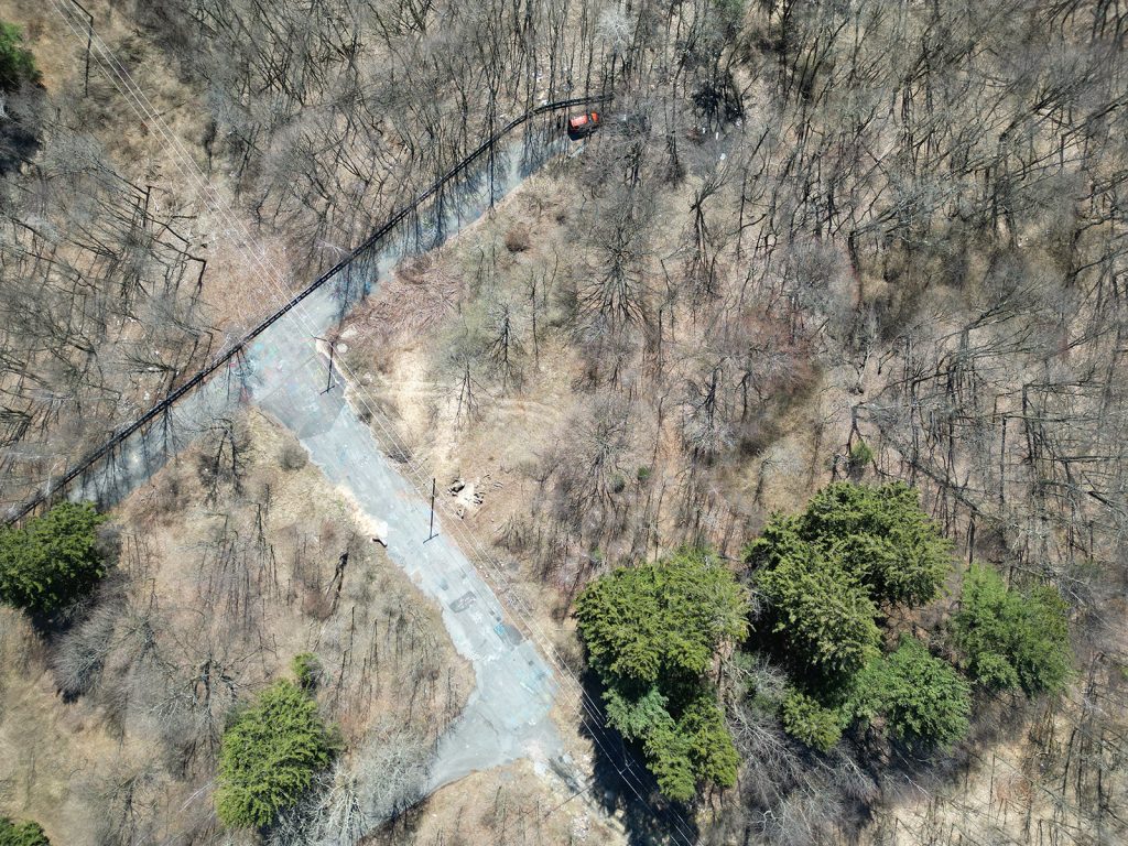
Sometimes, improvements lead to the abandonment of certain routes, but other times, poor planning or lack of funding, as well as political twists and turns, lead to the birth of ghost roads. This is the case of some sections of Route 23 in the United States, also known as the Goat Path Expressway.
It was originally part of a proposed PA 23 highway project in the 1960s to relieve traffic on the east side of Lancaster. The initial plan was to build a multi-lane highway, but due to funding issues and other complications, only parts of the highway were completed.
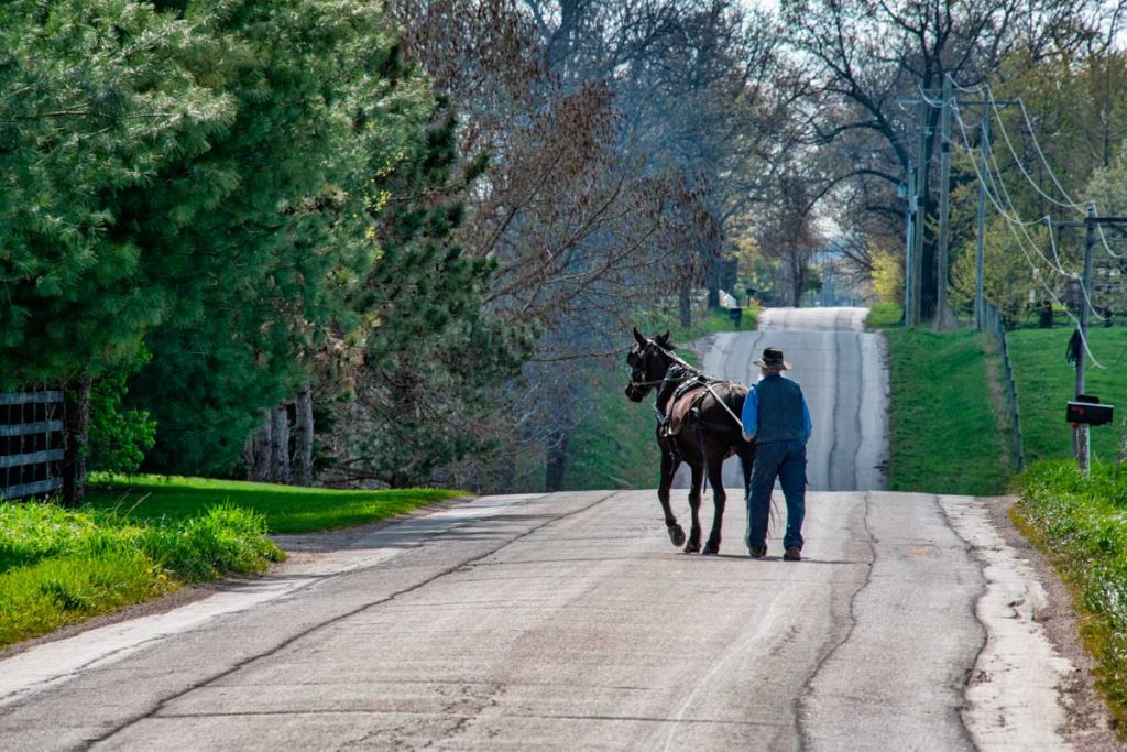
Construction was halted before the project could be completed, and the unfinished section was eventually turned over to local farmers, mostly Amish. They began using it for farming and ranching, leading to the road’s nickname. Although the road was never completed or used as an official highway, the name remained a symbol of the project’s failure.

In the United States there are many cases of abandoned infrastructures replaced by more modern ones and, beyond the abandonment suffered by the sections that no longer connect anything, it is about taking advantage of others that do have a certain tourist attraction. This is the case of the mythical Route 66, which links Chicago, in Illinois, with Los Angeles, in California, over 3,939 kilometers, and six other states. There are guides to the loneliest, most ghostly and abandoned places on this road, only suitable for those seeking peace and quiet.
Today, Route 66 is no longer a highway, having been replaced by motorways. But some sections have been granted historic route status and are marked accordingly. In this case, the protection was achieved that was not obtained on the Valencia Road in Spain.
There are other examples of dilemmas in the United States, such as Highway 39 in Los Angeles. The future of this highway in the San Gabriel Mountains remains uncertain, but there has been recent progress. Closed since 1978 due to landslides that seriously affected 4.4 miles of its route, six options are being considered for its reopening.
These range from restoring the highway to full public use to more limited alternatives, such as keeping it for emergencies only or converting it to a bicycle and emergency vehicle-only route. Although the state has indicated that the freeway should be reopened to connect to Highway 2, environmental concerns, such as protecting bighorn sheep, complicate the process. In 2023, the California Department of Transportation (Caltrans) held public consultations to receive input on these options, but a final decision has not yet been made.

Abandoned roads in Bogotá
The abandonment of half-built infrastructure is not a phenomenon exclusive to the US. It is also common in Spain, where there are half a dozen stretches of road with no concrete direction and an uncertain future for different reasons. Although there are few more flagrant cases than the city of Bogotá, in Colombia, where there are two highways that were built but not used.
One of them is the Avenida Longitudinal de Occidente (ALO) Sur, a road whose construction began in 1961 and which, more than 60 years later, has still not fulfilled its initial purpose of relieving congestion at the exits from the capital and facilitating transportation of goods and people from nearby towns. It is more than 15 kilometers of a two-way road that appears in the electoral programs of successive elections as a fundamental investment, but never materializes. While this use is being achieved, the local population is learning to drive on its lonely kilometers of asphalt, where it is also very comfortable to ride a bicycle.
Similarly, in order to relieve congestion at another exit from the Colombian capital and to facilitate the arrival of goods, another highway was built more recently, the Usminia Avenue, which has roundabouts and even bicycle lanes and a sewerage system, and whose progress was stopped abruptly when it reached just over 1,100 meters in length. According to sources, the halt is due to the lack of funds, or the archaeological discovery of hundreds of bodies buried along the planned route, which led to the works being abandoned before the road was inaugurated.

A 146 km road in Australia
Australia is home to some of the world’s most inhospitable and lonely roads, such as the Eyre Highway and the Outback Way, which offer fascinating but challenging journeys. The low population density in some of the regions they traverse, as well as in the country as a whole, makes them lonely and quiet places.
The Eyre Highway, which crosses the vast Nullarbor Plain, stretches over 1,600 kilometers between Western and South Australia. The highway is named after the explorer who first crossed this very plain by land, Edward John Eyre.
This stretch of road is famous for having the longest straight section in the country, some 146 kilometers without a single curve. Despite the feeling of isolation, it is a vital corridor for the transportation of goods. Travelers face extreme conditions, with high temperatures and a shortage of services, although its desolate landscapes also attract adventurers in search of a unique experience.
On the other hand, the Outback Way connects Winton, Queensland, with Laverton, Western Australia. It covers more than 2,700 kilometers through the remote interior of the country. This road, known as the Great Central Route, passes through arid and difficult areas, where small towns and huge empty spaces set the pace of the trip. Although in recent years work has been done to improve it, many sections are still dirt roads. Still, the Outback Way is essential for remote communities and travelers looking to explore the true heart of Australia. There are, in fact, complete guides to travel it while minimizing the obvious risks of an adventure through such inhospitable and wild places.
Write: Rafa Honrubia